Map of Australia: React (hooks) + D3.js
Area SQKM by Australian Commonwealth Electoral Division
D3 map featuring cloropeth colors, tooltip, scroll zoom and map control
Source: https://datapacks.censusdata.abs.gov.au/datapacks
Getting and formating the data
In order to draw Australian map, we need the Geography Boundaries and we can get this shapefile from here: https://datapacks.censusdata.abs.gov.au/datapacks/

Australian Bureau of Statistics: https://datapacks.censusdata.abs.gov.au/datapacks/
Now we have the file — CED_2016_AUST.zip — we have to upload this file on https://mapshaper.org/
- Upload all the files downloaded in the directoryon https://mapshaper.org/ and click Import
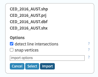
- You will see the Australian map.
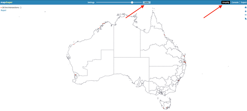
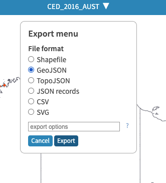
- Now we will decrease the size simplifying and export as GeoJSON. We used 4% but you can use any value.
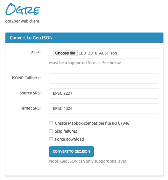
- Next, we’ll visit the Ogre to Ogre (ogr2ogr) web client to convert our file to the correct EPSG:4326 coordinate system. https://ogre.adc4gis.com/
- Upload the GeoJSON simplified
Now we have the GeoJSON formatted to work with d3.js.